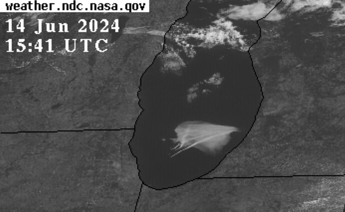
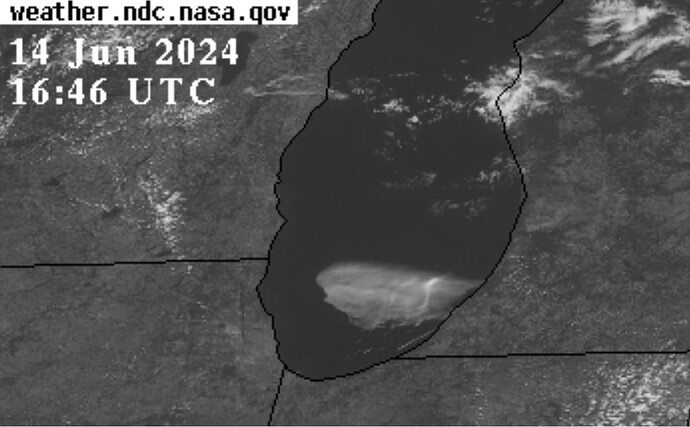
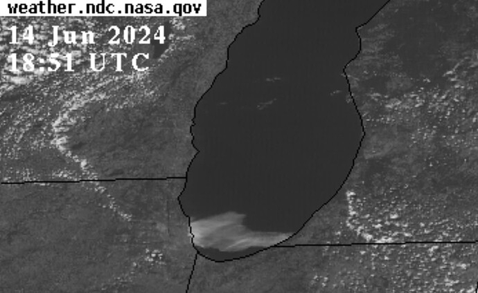
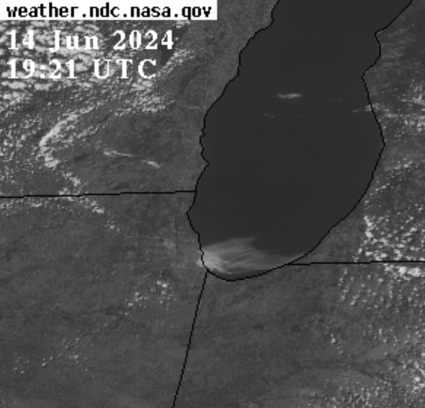
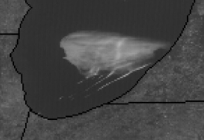
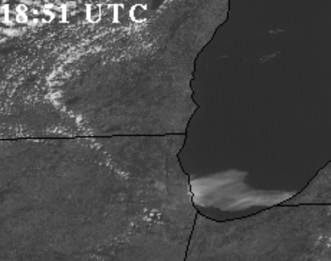
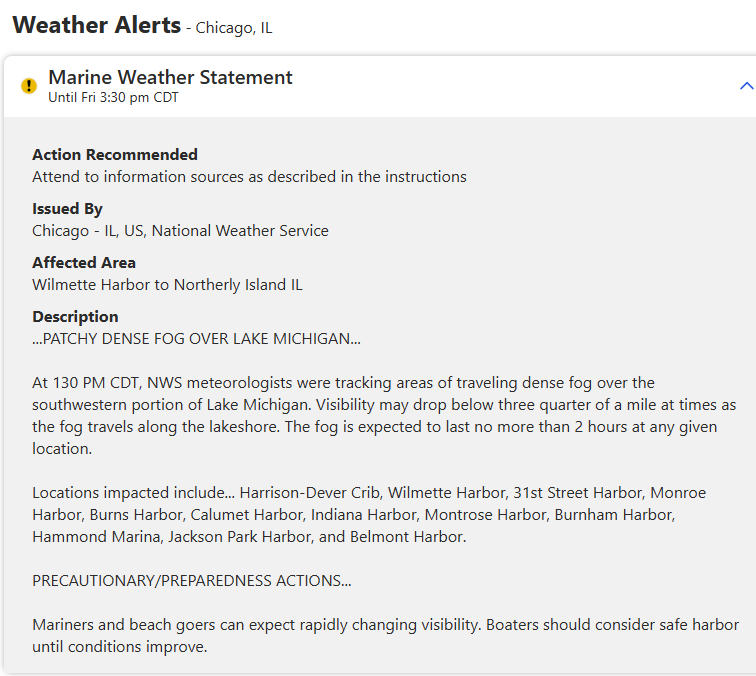
Very, very, odd cloud behavior over Lake Michigan near Chicago. Weather channel issued a patchy, dense fog advisory for the region; middle of the afternoon. It started last night in Michigan, moved west, intersected with three remarkable, ahem, line-shaped clouds, changed shape and focused in on Chicago. I mean it made a beeline for downtown, right on center.
.
Look at the alignment of the NW and SE clouds and in relation to the concentration of “fog” not to mention the striations within the fog cloud.
There were likely four trails, with equidistance spacing, like puffs.
And when the leading edge of the fog cloud gets near the shore, it becomes whiter in the image. Also note the appearance of two diagonal lines of clouds (NW and SE of Chicago).
I don’t know what this is all about, but it ain’t natural. I would not want to be in the Windy City today. It looks like an experiment or worse.
NASA Image Viewer
NOAA Image Viewer
(NOTE: Adjust the Length parameter as needed; best to include the Jun 24 09:41UTC to see it from the beginning)

