Practice run, maybe. Unfortunately, this is very likely the first of many.
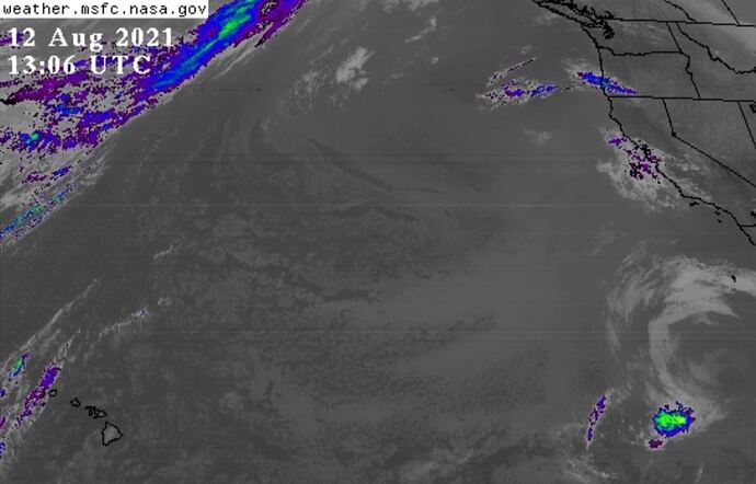
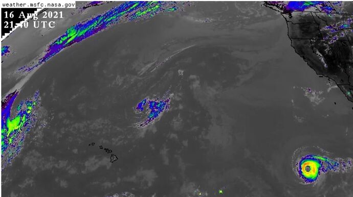
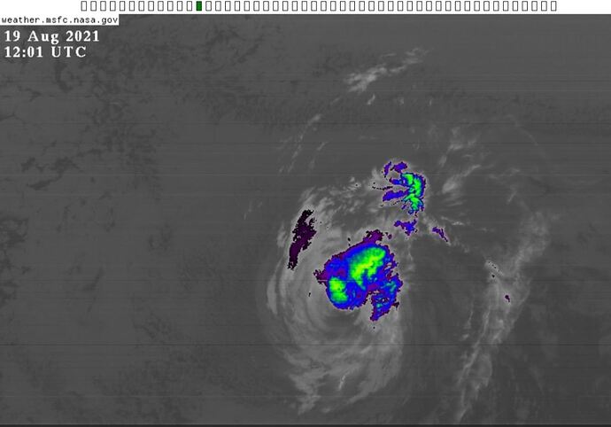
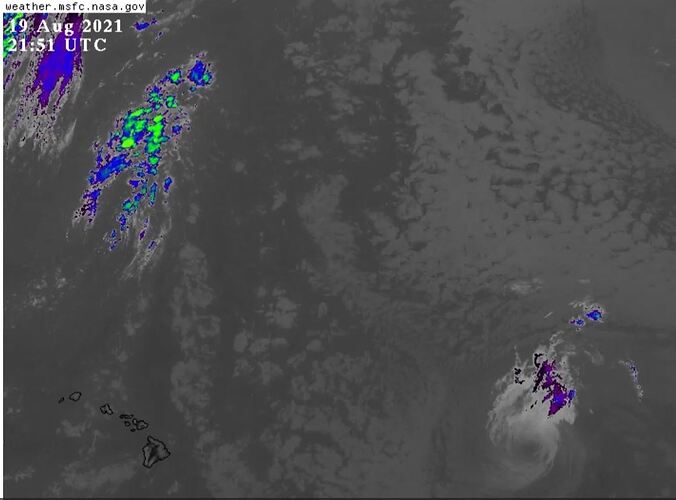
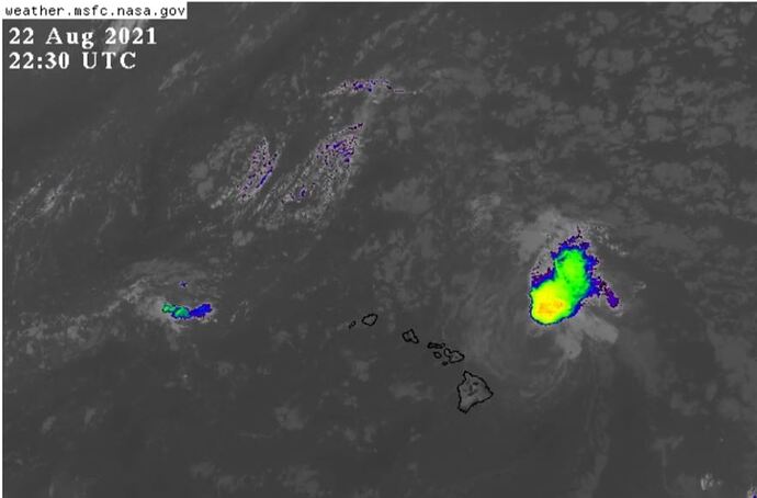
In '21, I watched them walk a Typhoon Linda from Mexico to Hawaii. They kept the warm, low-altitude air mass rotating as it plodded across the Pacific, after they stopped heating the air mass (to produce cold, high-altitude clouds). Then, when it reached north of Hawaii, they cranked up the heaters and created some cold updraft on one side of it. Pretty neat experiment I say.
I was watching fires in California, so my video collection on the walking typhoon event is limited. I also saw an Atlantic hurricane “decouple” once, kinda thought it was an accident on their part. Not their fault, after all, it is real hard keeping the upper part of a fake hurricane connected to the lower part. At least then it was.
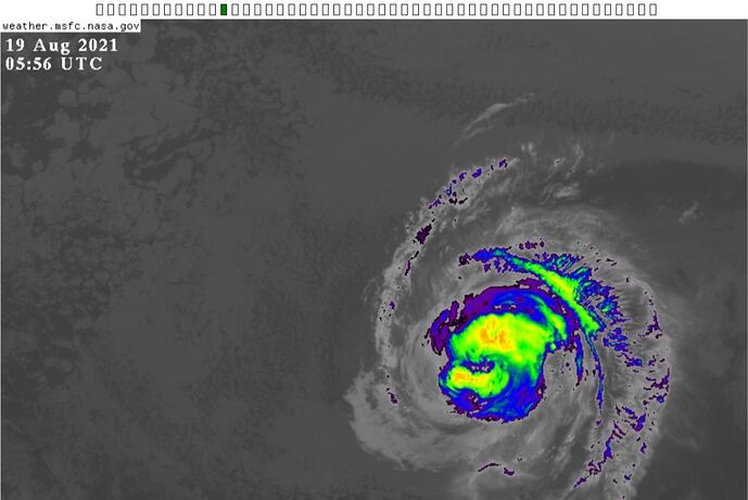
Note below the 19 August snapshots… there is a 6-hour gap from NASA as this typhoon “broke up”. You can tell from the green dots that the 05:56 and 12:01 images are adjacent images in the animation.
The rotation around an eye is better in the videos. Sorry, can’t post video.

