
I don’t know how accurate this page is but it’s interesting.
Interesting set-up for Texas and Gulf Coast in play over the next week.

@thebeaver This guy is polished, much better than most of his peers.
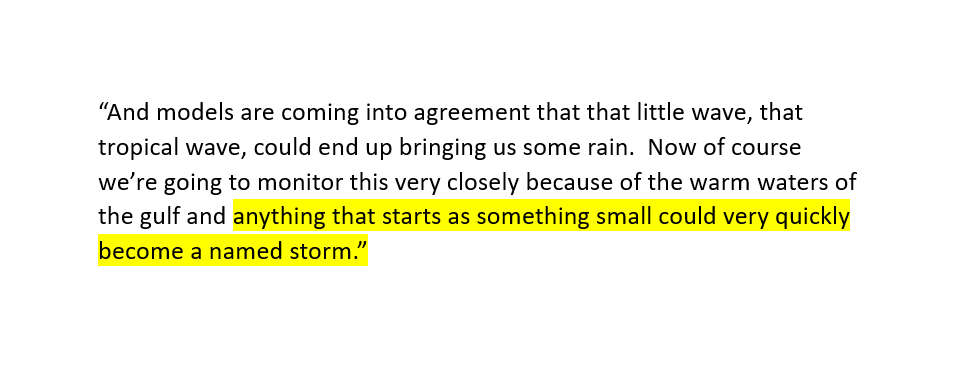
Yah… “models are coming into agreement.” Interesting way to put it. Here is what I see.
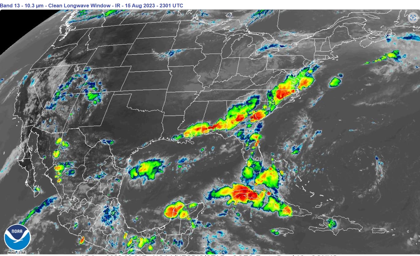
[1] Water Vapor Loading: The image below is from yesterday evening. Very unusual concentration of high-altitude clouds (yellow, red) from Louisiana to D.C. as well as Florida, Cuba and the Yucatan Peninsula. Just because it is red and stormy looking, doesn’t mean the water vapor dissipated in the form of precipitation (like it used to after storms rolled through when I was a boy). They seem to be charging the atmosphere (my term for loading it with water vapor) for use elsewhere.
.
[2] Pushing From the East: Also present in the mix is an invisible “rotator” which is my term for a manufactured low-pressure system. They started this in the north Atlantic days ago and have been walking it SE towards Florida. Note the absence of clouds. It can be seen rotating in the upper troposphere image (Band 08) but is nearly imperceptible in the other bands to include visible. Low pressure systems develop bottom-up from rising heat. Think of a child in the bathtub spinning up whirlpool with his finger as the water drains out. The southeasterly path of this rotator is exceptionally rare, and there are actually two of them hitting the east coast like rotating hammers.
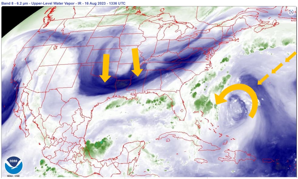
[3] Pinching from the North: Blue, yellow and orange colors on Band 08 (above) are dry and being at the jet stream level, they pretty much direct the show below. Moist air from the gulf is being restrained or confined to the southern U.S. coastline. In some ways this looks like the Lahaina setup where air masses were pinched; this time though, they involve storms and precipitation, not just wind.
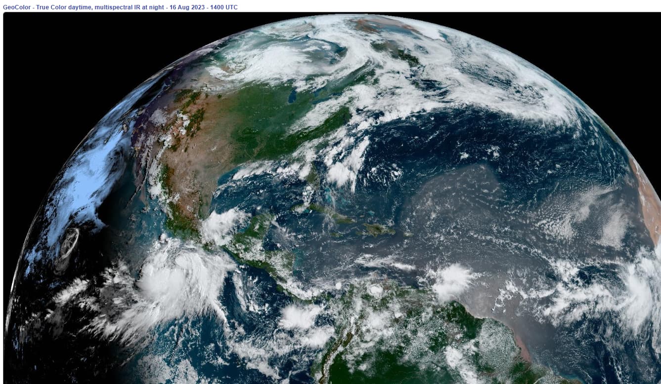
[4] Dust Particles: Dust from Africa has arrived. Nothing like some added “wetted insoluble aerosols” for water vapor molecules to become attached.
I do hope that I am wrong, and I have indeed been here with predictions. But it looks like a setup for some real bad storms, named ones as your weather guy suggested.
Since there isn’t enough water in the aquifer for us to water our hay field, I’ll take it.
I am very sorry to hear it is that bad, @justawhoaman. We had a dry patch in late spring and I was certain they were going to “drought” us, too. None of us are safe or immune from the consequences of these evil acts.
The Blanco River is covered in the few remaining puddles with Black Buzzards consuming the remains of the fish left in the streams. Our solar well is barely able to keep water in my one pond… and without these ponds, wildlife would be dead. My yard is covered in mineral tub lids providing shallow water sources for birds and reptiles. When I spray water into the trees, birds come from everywhere to sip the drops and take a quick light bath in the heat.
That is a heartbreaking depiction, @justawhoaman.
Sending lots of prayers that you and all who depend on the bounty you provide, to get relief.
He’s a weather reporter, nothing more.
Yeah, but after watching some dope on another channel excitedly explain how winds from Hurricane Dora were blowing into the Hawaiin islands, your reporter at least gets a good grade in contrast for his appealing demeanor.
My friend in HI says Dora winds were blowing into the islands.
She went through a direct hit from Hurricane Iniki and was keeping a close eye on Dora.
Take it for what you will.