Freezing drizzle??
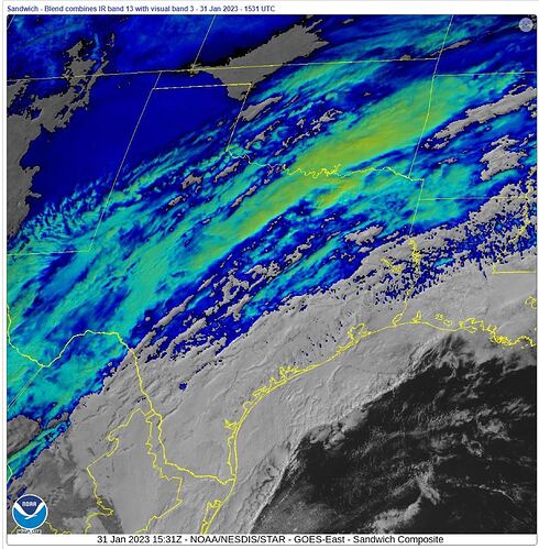
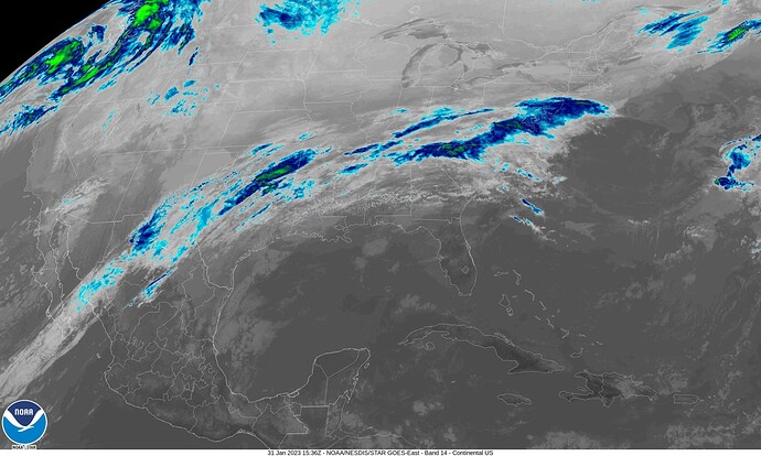
There has been an “atmospheric river” (green and cyan colors in image below) flowing northeast from tropical Pacific through Mexico, Texas, Arkansas, etc., for days now. I said through; oops, perhaps that should be “over.”
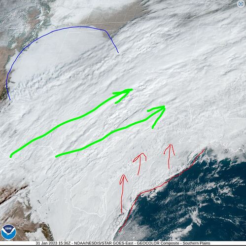
Simultaneously, at lower elevation(s), there is: (1) a static “northern” cold air mass covering much of Texas (in dark blue); and (2) and a moving warm air mass (in white) that starts some hundred miles off the Gulf coast and from southern Mexico, which flows northerly well inland right under that river.
Watch the NOAA animation below to get a feel for the flow of these three air masses. You can select other Bands on the NOAA Image Viewer, to include visible clouds, but this composite channel better distinguishes air masses by color.
Elana Freeland stated that “THEY” [my term] can control weather at multiple layers now, up to 24, if I recall correctly.
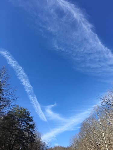
There are numerous straight and perpendicular lines (as well as other features) in the Texas animations that denote chemtrail activity. Many cloud lines can be seen that match the ones seen in the ground photo below (taken elsewhere four days ago); note how the feathering becomes antenna-like.
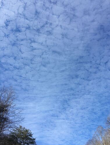
This next image was taken only 15 minutes prior from the same point. It was the first time I had seen the feathered “cloud” above the “pond scum” layer. It was a very busy spray day.
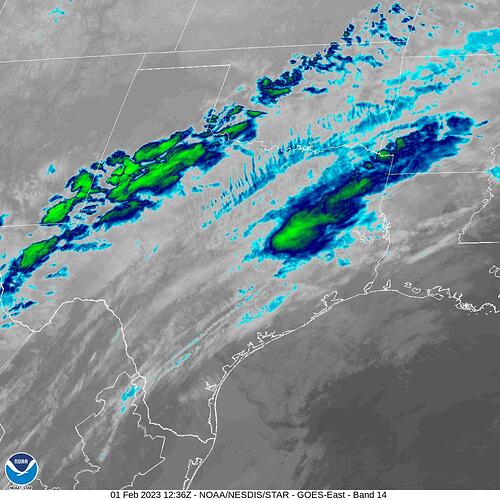
And now, at 06:36 CST, like a light switch, the promised ice storm appears:
My greater point is that NONE of this is natural. If it is not natural, then it is man-made. If it is man-made, then it has a purpose. If that purpose has not been publicly declared, then it is conspiracy.
Drought. Deluge. Gale-force winds. Freezing Rain. Catastrophe Incorporated.
“They” DO control the weather.
-The PatternGuy

