YouTube: ‘Is this the reason Greenland is making headlines right now?’

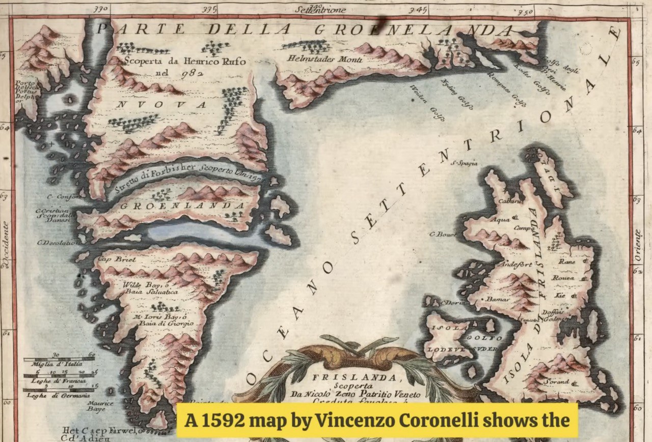
Historical accounts raise questions. One 1592 map shows what appears to be a massive waterway running through Greenland. The measurements suggest it would be approximately 630 to 650 mi long. The map notation says these straits were formerly passable before the current ice coverage. Could this waterway be valuable as a sea route when the permafrost melts?