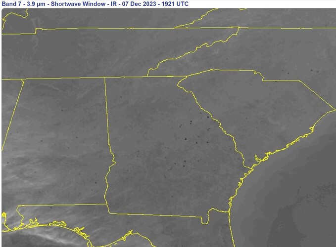
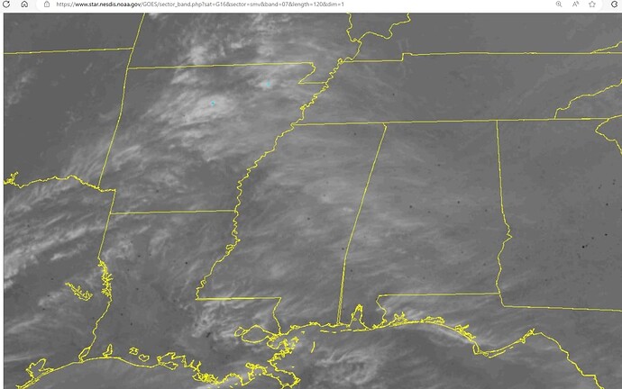
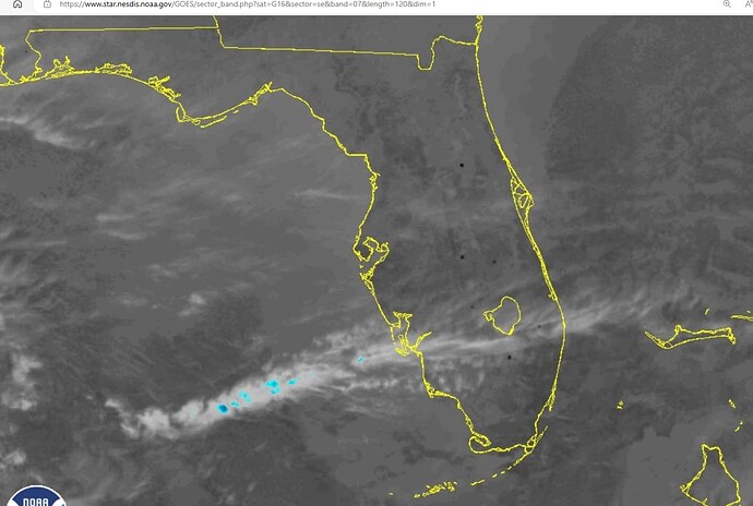
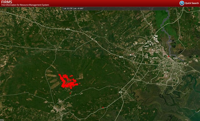
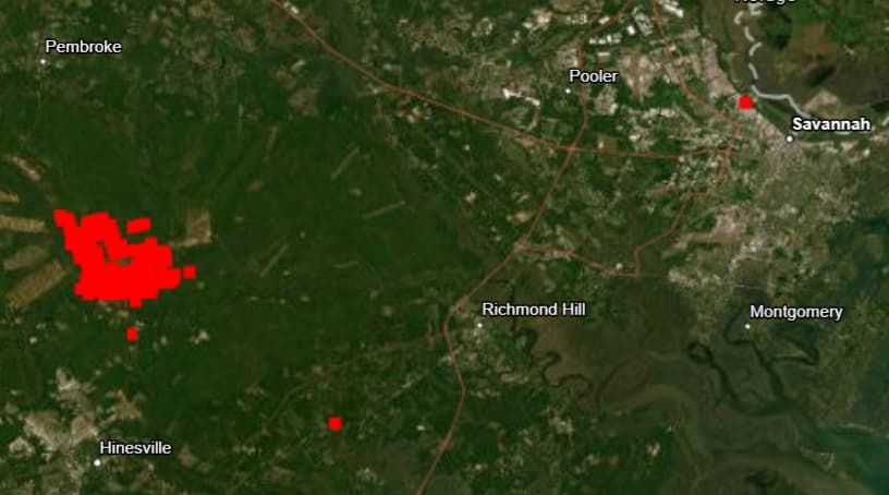
I started this new thread because of the sheer number of wildfires in the south today. Unprecedented for me, which says a lot for those familiar with my posts. I have not seen such a concentration of them across so broad an area, EV-ER.
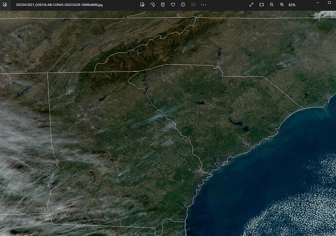
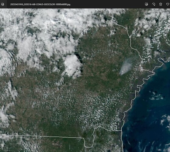
Eastern Texas. Louisiana, Mississippi, Alambama, Georgia and southern Florida have been hammered all afternoon. Because of the clouds, visible images above Georgia are clear and show the larger smoke plumes. There are also multiple fires in Tennessee, North Carolina, Arkansas and Oklahoma.
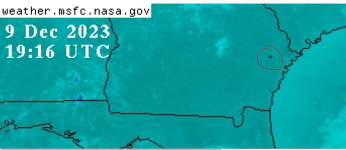
The casual reader will see a few black dots, yawn and move on. Click on the animations below and just watch. Still images only show a moment in time. Animations, if viewed this evening, show just how many hot spots there are. These aren’t lightning strikes.
Animated imagery tells a better story.
U.S. South Band 7 (infrared)
U.S. South GeoColor (visible)
High resolution still images are good, too.
U.S. Conus Dec 7, 2023 2021UTC GeoColor

