
My infrequent posts should not be construed as absence of activity.
“They” are now peppering the Southeast U.S., from Oklahoma/Texas to Virginia/Florida. Photos below are of a tight pattern of black dots in rural North Carolina and their corresponding plumes. The plumes all started within 45-mins of each other.
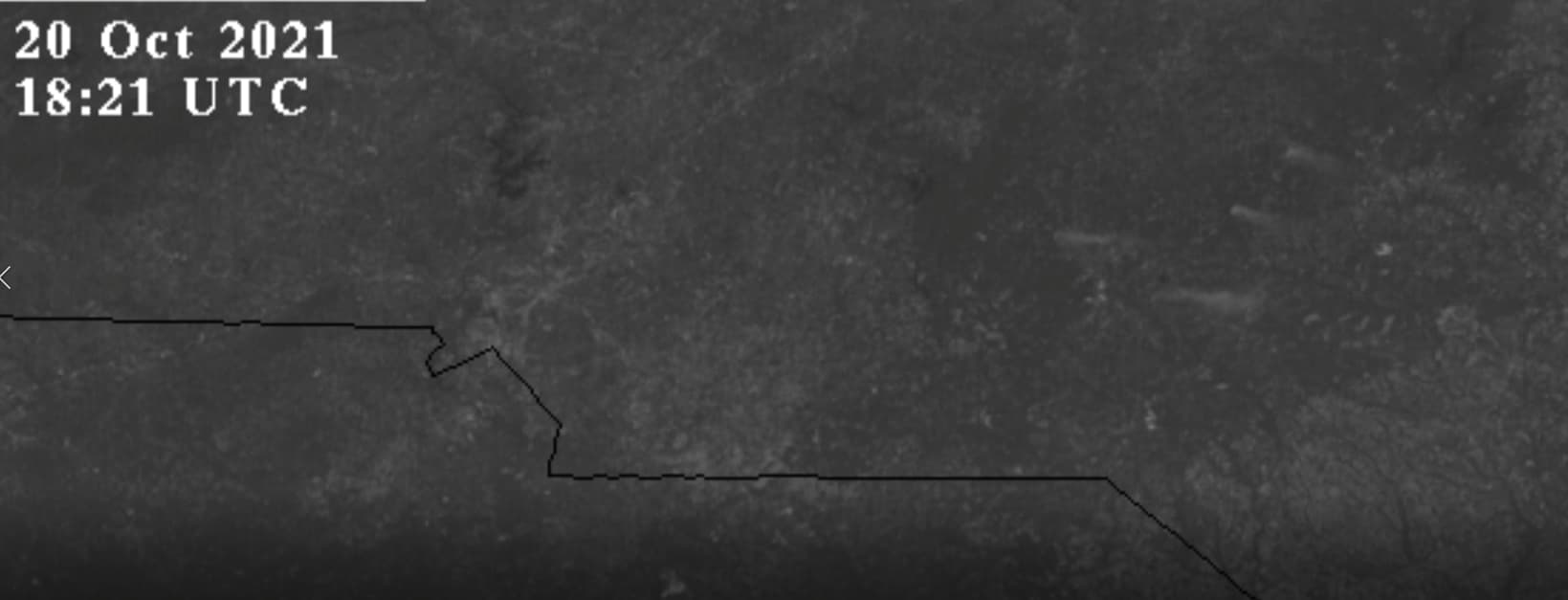
INFRARED DOTS (surface temperature, 2km resolution)

VISBLE PLUMES
As a reminder for new readers, black dots are the hottest infrared surface temps and have a 2km resolution. Oil refinery units which are quite hot, do not show up on the satellite because although hot, they are small in diameter. Black dots are a wide area of great heat and were present in the recent western wildfires when they were “volcanically” burning. These plumes are significant fires that suddenly appear and in most cases disappear from the satellite as soon as they arrived.
The timing alone makes them noteworthy and quite unnatural. This has been happening recently in the northern central valley of California as well.
Whoever, whatever group that possesses power to burn cities (e.g., Santa Rosa, Calif. 2017, Greenville, Calif. 2021, etc.) could easily burn American cities en masse, but have refrained. Given the seismic aspects of some of the areas they have hammered with these DEWs in the past (e.g., Dixie and KNP wildfires on fault lines in Calif.; Stanley, Idaho; New Madrid, Missouri, etc.), along with all the earthquake and volcano activity in the world, a new thought has popped into my head.
These areas of “thousands of hits” in the Southeast U.S. are not on plate boundaries. Could these DEW hits instead, somehow be causing heat to be generated below the plates?
Perhaps someone brighter can help me wrap my head around the possible strategies and capabilities here.
Among many things I am not (e.g., firefighter, meteorologist, weapons engineer, geologist, etc.) I am simply the…
-PatternGuy