For those here on the GDS that don’t believe in chemtrails or geoengineering, and those that do, but think they are isolated occurrences, I offer today’s show off the California coast.
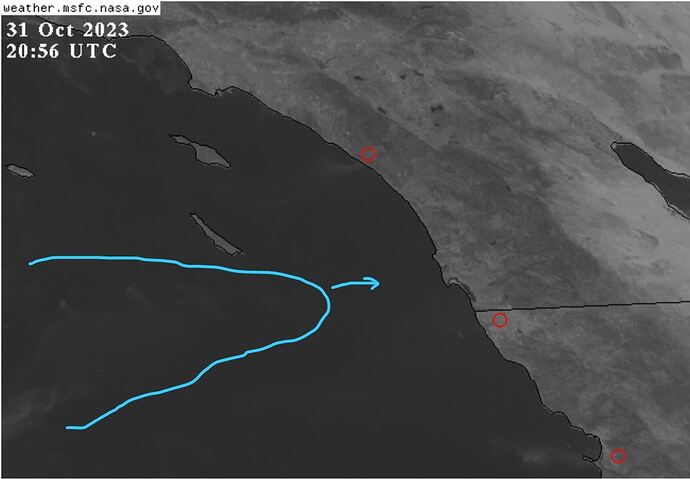
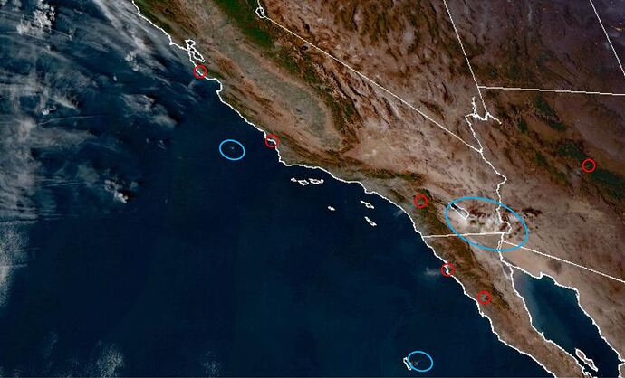
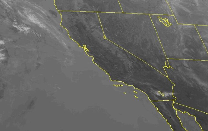
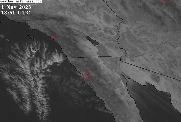
These two black and white pics are from the NASA Image Viewer taken at 2:00PM PST today (31 October). I highlighted three new fires in red as well as some odd clouds (in cyan).
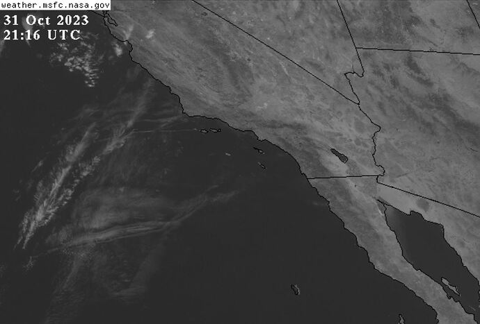
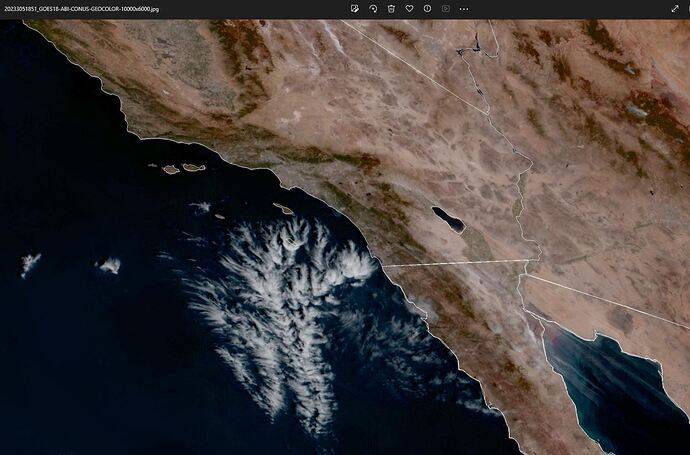
Image-2: Zoom out a bit and one can see the clouds much better.
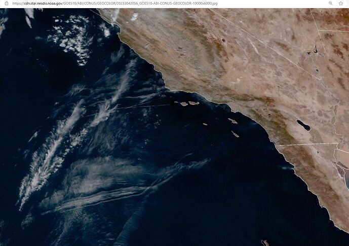
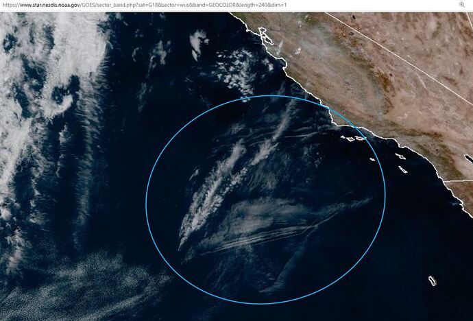
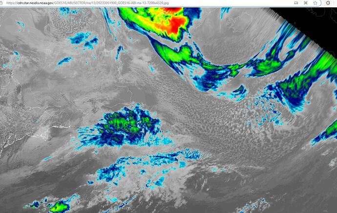
Image-3: Zoom out more using the NOAA Image Viewer
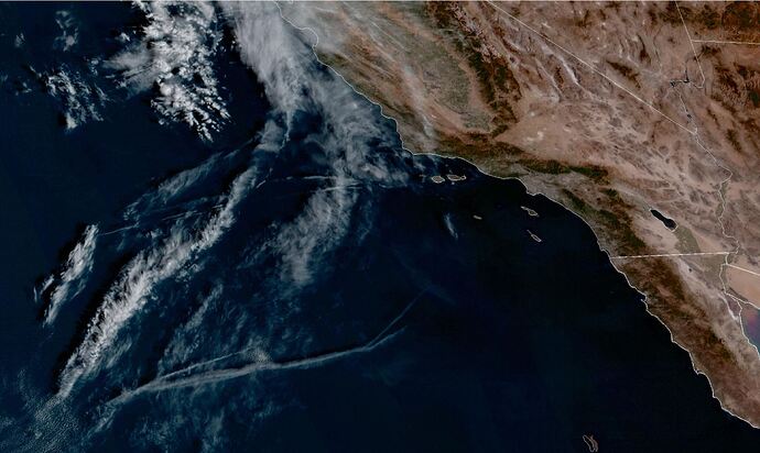
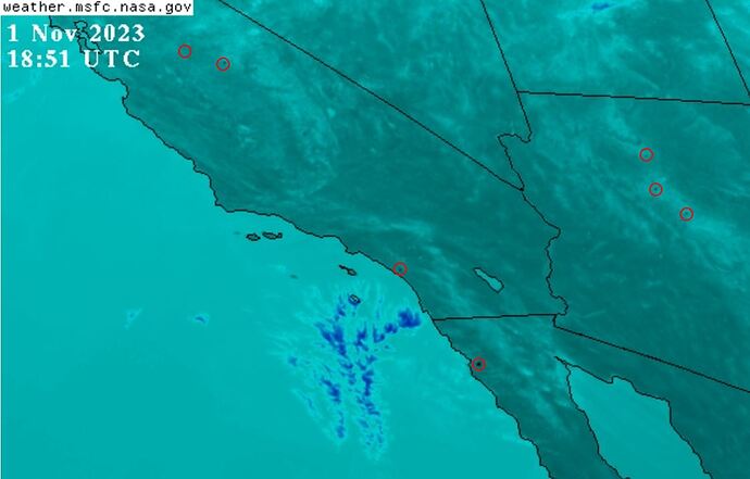
Image-4: Here is what those clouds looked like early this morning:
NOTE: The absence of a video posting feature on this website means the reader will have to follow supplied links on the NOAA and NASA GOES Image Viewer websites to see the clouds in motion. I strongly recommend those interested do that. Understand that NASA animations are limited to the most recent 4:20 hours and NOAA either 20 or 40 hours depending on the channel selected. Those who visit the website later will be unable to see these same images.
What is Going On Here?
Clear weather over both the ocean and West Coast have made certain features of the artificial clouds much more apparent; hence this post (I don’t get to use hence very much, hehe). Never waste a training opportunity.
Objective #1. Point out cause and effect between “spooky cloud” presence and occurrence of intense fire(s).
I contend these fires, regardless of origin, are being intensified by directed energy weapons either by or through these clouds. The ability to zoom using the NASA Image Viewer (Images 1 & 2 above) permit better scrutiny of hard to see smoke plumes and drive-by clouds.
Three new fires join those from yesterday, all along the coast (Image-1). When watching animations of fire areas, one can see these clouds suddenly appear, frequently in a rotating manner, whenever the fires breakout or intensify. I have been intently watching these fires daily since Caldor and Dixie broke out in the fall of 2021. As with most things studied over time, patterns emerge.
I tell you, these feathery clouds are nearly always within several hundred miles of erupting fires.
Objective #2: Point out presence of multiple cloud layers.
In the process of hijacking the climate (geoengineering), the troposphere has become stratified. With aerosols and directed energy, they can direct clouds to function at selectable elevations and with different behaviors. Tropical Storm Pilar is case and point. (BTW, it is most odd that Pilar hasn’t budged in more than two days, isn’t it?)
Animate any of the images above illustrates movement of cloud layers and presence of radiated energy.
Objective #3: Point out “drive-by” hits.
Drive-by here is similar to a drive by shooting; best demonstrated with actual footage. One can open the following links in separate tabs, the first with GeoColor and the second with Infrared. Both viewers store the latest 40-hours of images. Let’s take a look at the action last night.
Use the scroll bar to advance the GeoColor image to 30 October 2023 23:50Z. Then use keyboard left and right arrows to advance and reverse the images. Watch how the relationship between spooky clouds (cyan color) and smoke plumes (red). Multiple large fires burned last night in California, Arizona and Baja California.
Black dots can be seen in the same places as the plumes and some, but not all, of the clouds can be discerned. I did not mark up the image in order to make the black dots more apparent.
For those with sharp eyes, one can see many black dots turning on and off in the Calfornia Central Valley up north near Sacramento.
Objective #4: Point out cloud features
Look at the clouds. So many straight lines, most emanating from chemtrails. Notice the waves and parallel lines. Advance and reverse the images to see how the clouds originated and progressed.
Summary: I don’t know for certain which cloud is doing what, if even at all.
Regardless, patterns over time have convinced me that these clouds are somehow involved and the phenomena I see better matches what Elana Freeland discusses in her books than the standard excuses for all intensified fires (e.g., climate change, the wind picked up, continuity of fuel, drought conditions, electric lines, etc.).

