
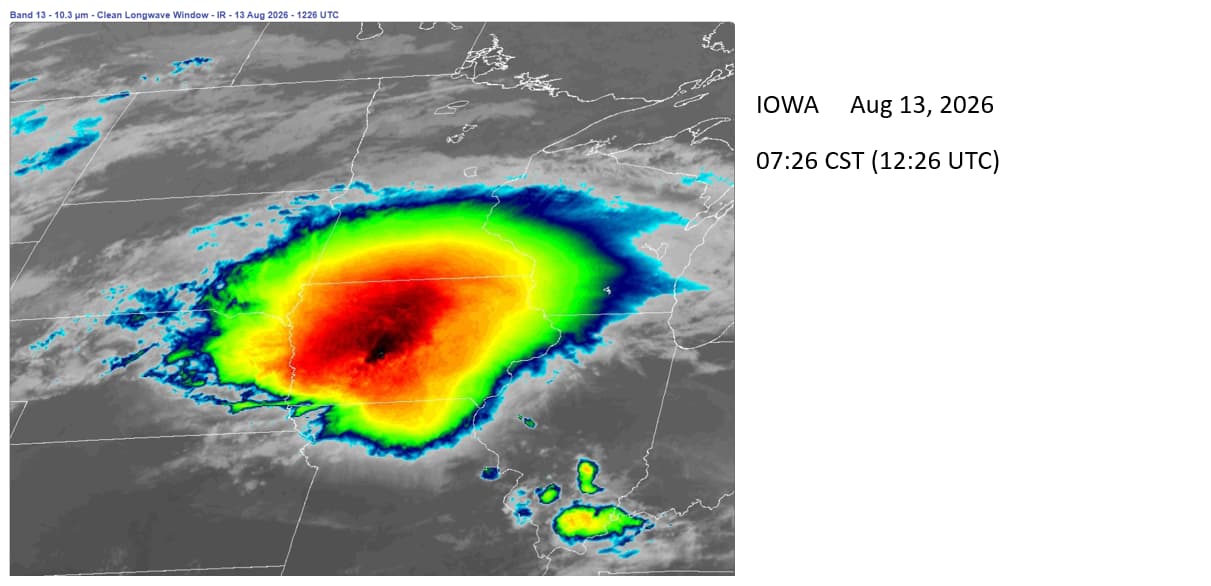
On the NOAA satellite imagery viewer, black pixels represent very high and very cold water vapor.
This is an incredibly destructive storm. Large hail, high winds and possibly tornadoes are inevitable (to me at least).
I strongly recommend that readers click on the link to watch the ANIMATION of still images (the Loop setting can be adjusted).
GOES-19 - Sector view: Upper Mississippi Valley - Band 13 - NOAA / NESDIS / STAR
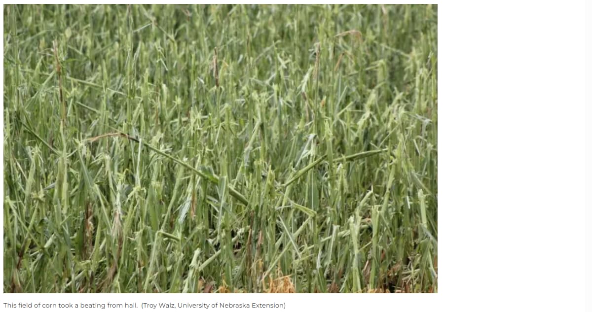
Here is an agriculture report comment about the August 7th storm damage in Iowa:
“This is a hailstorm that, I guess in the 30 years that I’ve been doing this, I’ve not seen the magnitude of that damage,” Deutmeyer says. “And then also the sheer area that it covered was just something I’ve never experienced before.”
The storm last night (and still roaring as of morning of Aug 13) is bigger and more intense.
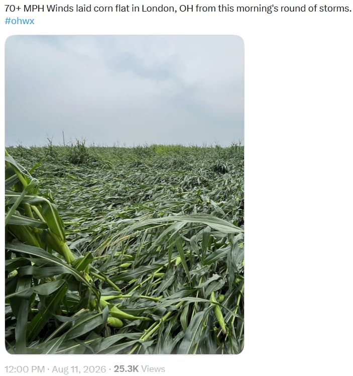
Another recent pic from Ohio:
Dunno folks. It seems the back door is open to national destruction while the focus is on the other side of the world. What good is oil when there is no food to eat??