Daily DEW Show Aug 25, 2023: Very Odd Cluster, LOTS of Heat, Little Smoke... Lost Hills, California*

Because of the Lahaina Massacre, I thought I would share more of what I see daily around the North American continent. Sorry for the crude graphics.

Western Oregon, Idaho, Washington and BC:
Some of these hits were momentary, as in fly-by, while others like the ones in Oregon got hammered.

What’s interesting about the image below are the clouds (enclosed in purple)–they are rotating as a set. Those two sites in Oregon at this late hour (0316z) are still getting hits.

Louisiana, Arkansas, Mississipi:
All in all, there were nine (9) unique locations hit; six (6) are highlighted in red.

Yesterday it was Putnam County, Texas. There are very few days in which there are none to be found somewhere in the U.S., Canada or Mexico.

5 Likes

Just a hunch here…

I think DEWs have a bit of a hinderance in high humidity/rainfall areas. Could these spots you’ve highlighted be “try it and see if it works” areas? This is a primary reason that I think Texas is experiencing such drought. They might be planning to burn us. With Atlantic basin about to become active, any winds would come from the SE, pushing fires to the NW. Putnam County, TX would be a good spot if they can get it to take.

They’ve got to burn along WA & OR to clear the area down into CA. I think to the north (Vancouver) might be clear enough but who knows; they’ve got to get many of the people out of the way.

3 Likes

High humidity/rainfall areas seem to present a less effective scenario for their false narratives. Look what they had to do to pull off the Lahaina Massacre in a tropical paradise: (1) create a flash drought; and (2) create the high wind situation.

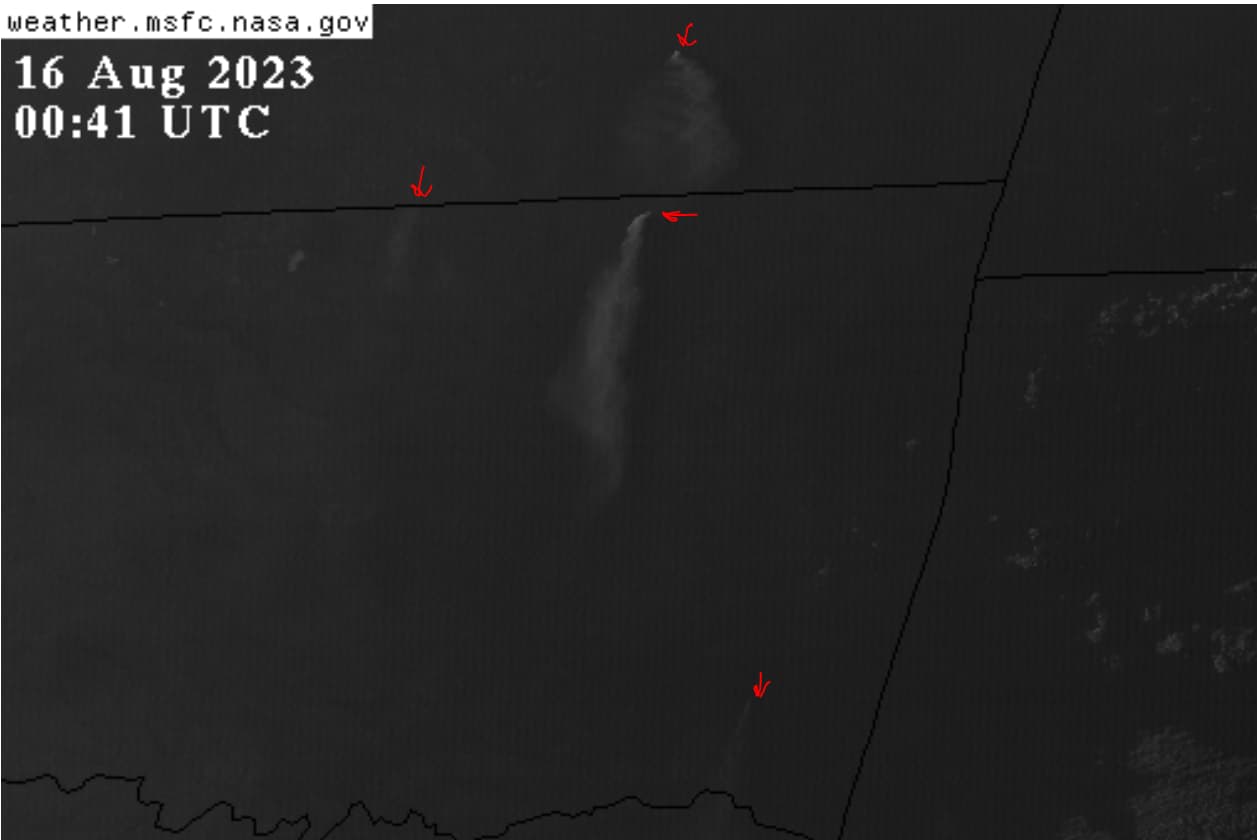
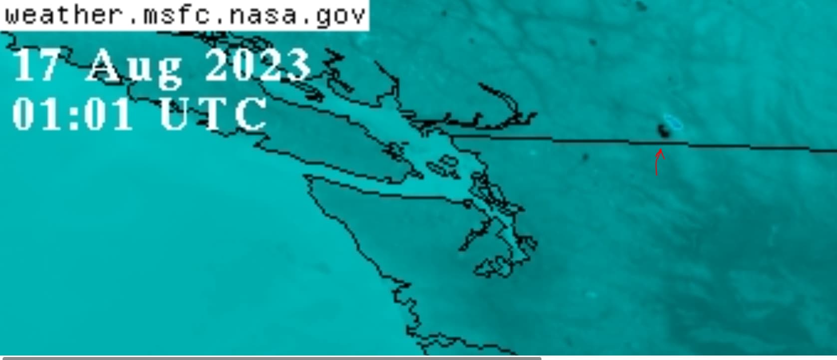
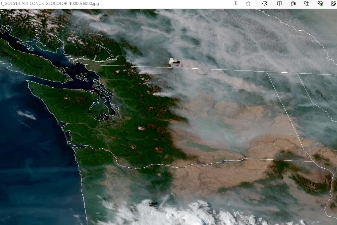
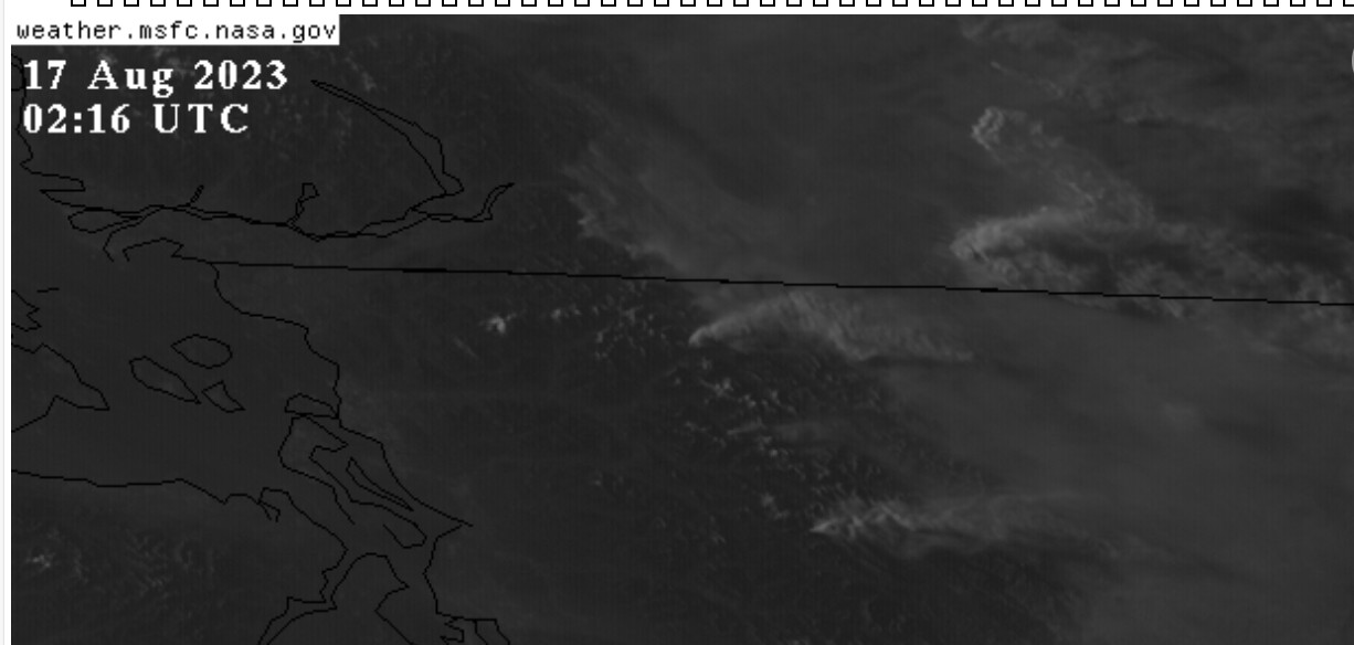
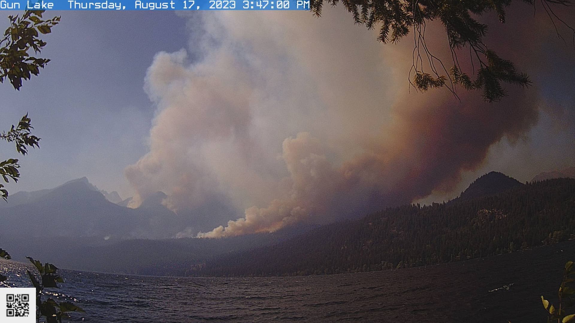
Your suspicion about Texas being thoroughly baked just before the Atlantic hurricane season ramps up is quite logical and unfortunately, too viable. They can steer any gulf storm pretty much where they please. As for the one-off Putnam County fire, it is but one of hundreds, possibly into the thousands, that they’ve hit in the greater region (TX, OK, KS, LO, AR) during the past two years (the period I have been intently watching).

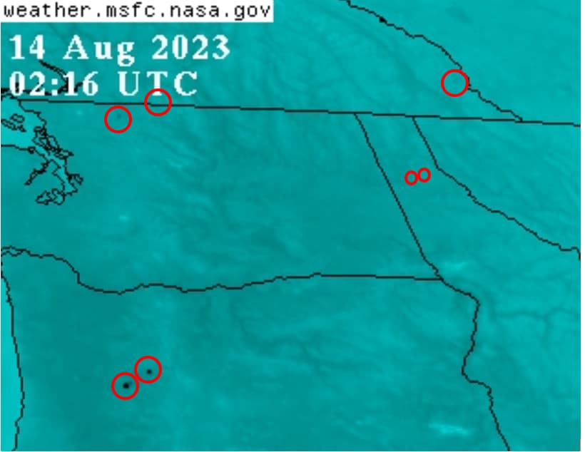
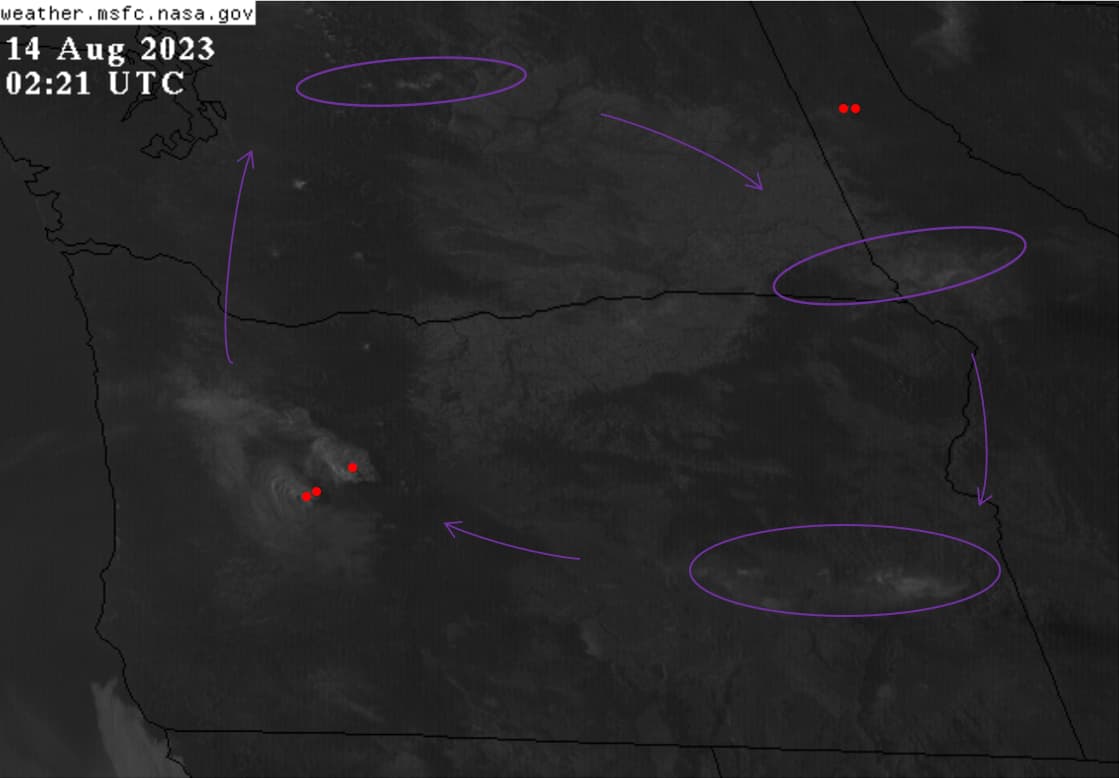
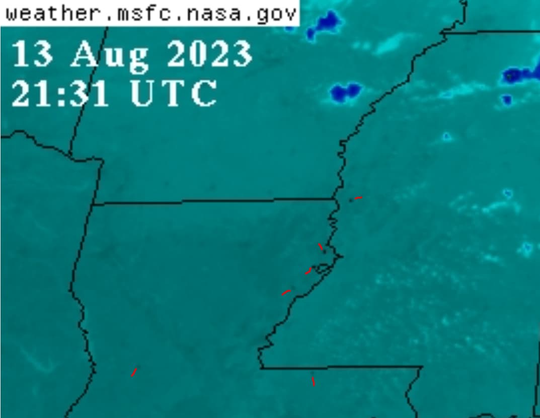
They did a great job drying out the west with the perpetual “pond scum” cloud cover before the fires of '21 (e.g., Dixie, Caldor, Windy, etc.).

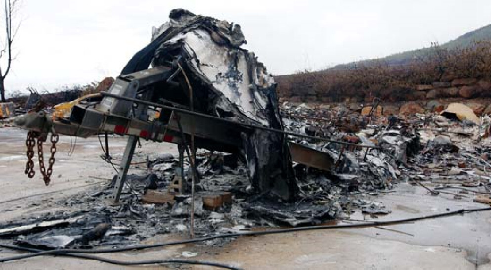
I think all of the DEW hits have been instructional for them as we have tragically witnessed in the Lahaina Massacre. To Giza readers, I cannot recommend enough the evidence provided by Robert Brame in the video below. The title is a misnomer, as he spends most of the time discussing what he observed while visiting dozens of wildfire burn sites in California.

There is no safe place on the earth now except perhaps where the elites live and travel. These deluges are so destructive, and, in many places, there is nowhere for that water to go. I’ve even considered getting a canoe or boat; after Lahaina though, it will not be an aluminum one.

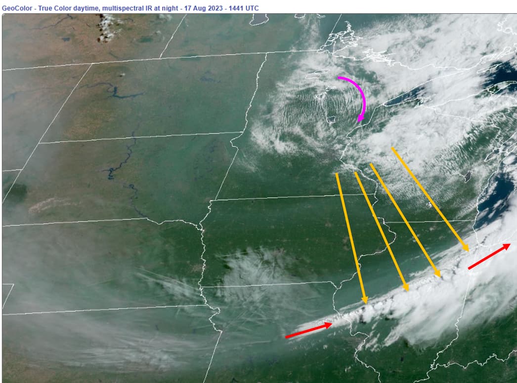
Sorry I cannot be more optimistic. Patterns are getting worse everywhere.

7 Likes

AUGUST 14, 2023

Oregon, Idaho, Washington, Montana and BC:
No less than 14 locations in the 4:10-hour period (17:21-21:26z)

Also hits in Kansas, Mississippi, Arkansas, Alabama and Georgia

4 Likes

@sharick
That is an excellent video! Thank you for posting it. Sent it to a friend on Kauai and she will quietly (or not) spread the info.

I’ve been watching those hot spots along with Dutchsinse for some time; you’re right, there’s hundreds of them. Glad you’re watching them and giving us reports.

With regard to Canada fires, I’d be surprised if this guy could get anywhere near them; he’d know if trees were aflame easily from many miles away. I suspect they are fully engulfed. Could have used DEW’s to start the burns, IDK. They’ve got to get the trees out of the way to clear that pathway of over 4000ish miles.

2 Likes

@thebeaver I am pleased to learn that you have also found it useful and informative. I shall now pass your appreciation of the video to @Dooderonomy who first posted it in June, I think.

Canada is a different DEW animal, so to say. MillionS (plural!) of acres torched. As with all the wildfires I’ve monitored, I cannot say whether DEWs were responsible for starting them or not; I am quite confident that they both perpetuated and magnified them.

4 Likes

@Dooderonomy
Thank you for posting this. I didn’t see it the first time.

1 Like

We need a new name. These are NOT WILDFIRES. DEW FIRES??? MICROWAVE FIRES???

3 Likes

John Pelletier of Maui overseeing the Lahaina Wildfire emergency with 93 confirmed dead is the same police chief who was in charge of the 2017 Las Vegas Harvest Festival massacre that killed 61 people

4 Likes

Plasma fires.

3 Likes

August 15, 2023 20:56-01:01z (4:10-hr period)
British Columbia: 16+
Washington: 5
Idaho: 4
Oregon: 2
California: 4
Montana: 6

Kansas, Oklahoma, Louisiana, Mississippi and Florida
Kansas and Oklahoma plumes below at sunset

3 Likes

August 16, 2023:
Concentrated black dots (DEW hits) in southern BC created a massive plume in less than one hour! Look at the difference in the images below and note the times.

I mean look at the height of the plume relative to the width of the state! In one hour, no less.

For those who are online now (7:25PM PST 02:25z), please watch this animation of them hitting British Columbia.

3 Likes

@sharick
Thank you for this info.

1 Like

Uncanny amount of “lightning” strikes here just recently:

New Fires in Oregon, also Northern California, Near Site of Previous Disaster
– Citizen Watch Report

3 Likes

@WuWu When one has weather control at their fingertips, lightning DOES eliminate the need to hire or find vagrants, errant campers and negligent utility companies, eh?

It looks like California is being set up for another year like '21 where the fires raged early and the smoke was generally directed north and east.

1 Like

Aaand I bet he’s a mason, they seem to be in on a lot of the action.

1 Like

August 17, 2023:

Ya gotta watch this! Watch how the chemtrails rotate CW through the smoky clouds which are moving east.

Don’t miss the V-plume, either. Funny how a narrow “cloud line” (red) suddenly morphs cumulonimbus with no terrain or heat source below. But, if one closely watches the rotation in pink, they might see the how the pattern of rotating clouds over Minnesota (pink) somehow follows (yellow lines) the growing clouds down yonder there in Illinois.

[Idaho] at daylight:
Watch the animation. See how there multiple trails in the vicinity that rotate as a set and are generally pointing to the large fire in Idaho. The presence of them is VERY TYPICAL.

British Columbia Getting Hammered:


Understand that those black ovals are dozens of miles long, all super hot. Multiple fires go ballistic at nearly the same time, all after the “candy clouds” (conductive aerosols) arrive.

6 Likes

Nightmare conditions !
Incredible extreme fire behavior last night north of the WA/BC border.

Image today - BC ---- Temps are 36C, RH of 19% and pre-frontal winds 23 gusting 43 km/h. The Downton Lake Fire clearly responding to the extreme fire conditions.

2 Likes

Yep. WA & OR are big targets.

1 Like

August 18, 2023 02:36z:

Black dots have become black clusters in BC. It is so bad up there right noe. These are incredibly large fires with massive smoke plumes. Big fires with DEW hits also in Oregon, Washington, California and Montana.

Also hits in Kansas, Louisiana, Mississippi, Alabama, Arkansas, Georgia and Virginia

2 Likes