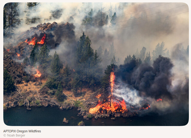
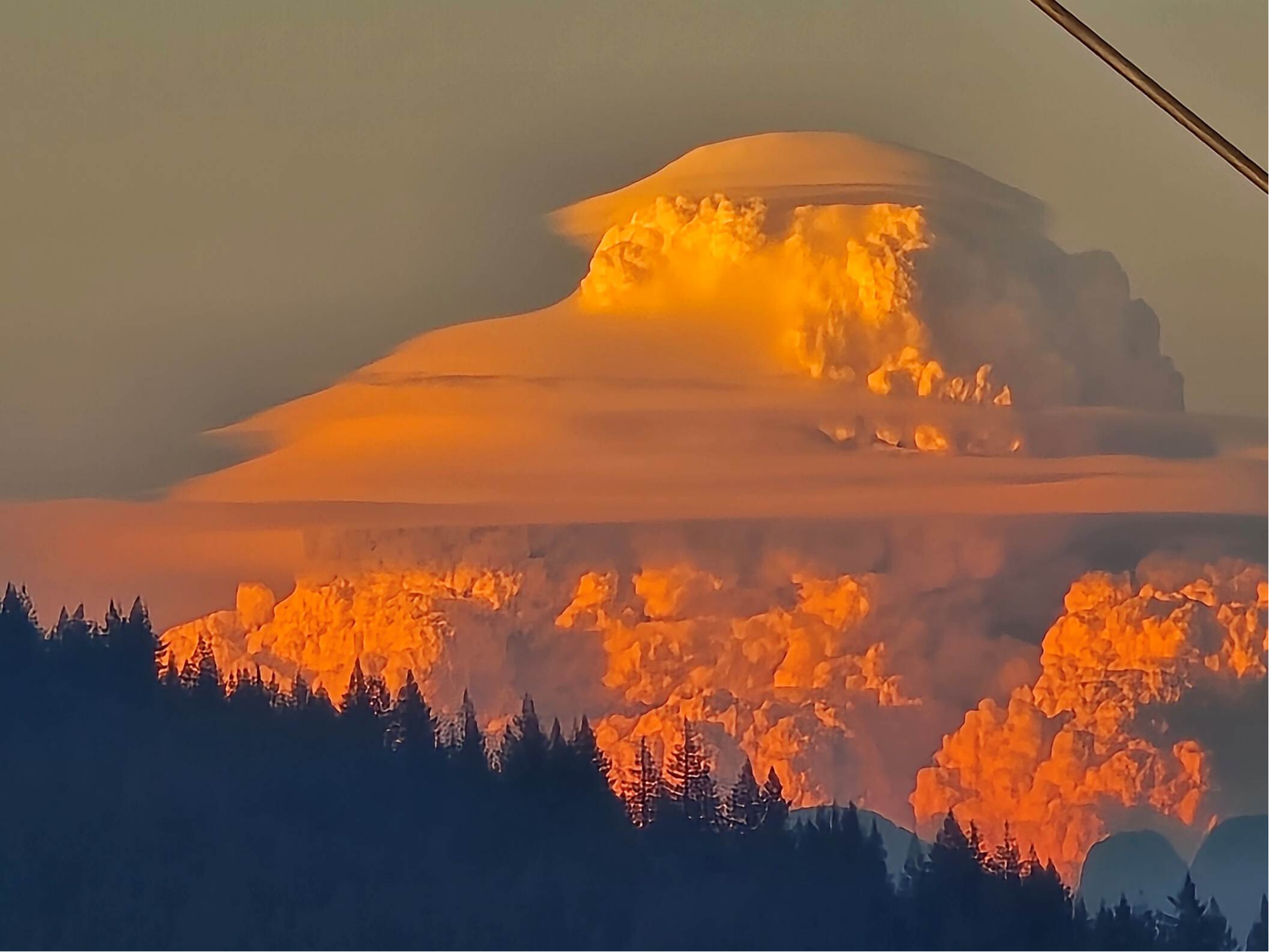
First Utah, then Colorado; meanwhile the Northwest Territories, Alberta, Ontario, British Columbia burned quietly until the smoke couldn’t be ignored anymore. Old news.
Now Oregon is really having a time of it. Animated satellite imagery shows how dramatic the fires are… propagating. I encourage those interested to click on the links below to see the most recent 4:20 hours. Late afternoon into the night “the winds pick up” so to say. If they follow Utah and Colorado there should be a show for a week or so.
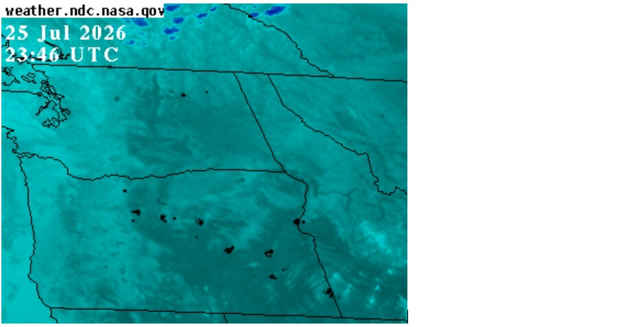
Band 07 Infrared
[NASA/MSFC Interactive GOES Data Selector](https://
weather.ndc.nasa.gov/cgi-bin/get-abi?satellite=GOESWestconusband07&lat=45&lon=-110&zoom=1&width=800&height=600&quality=100&palette=ir4.pal&type=Animation&numframes=50)
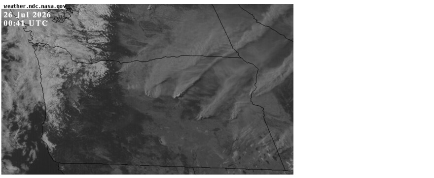
Band 02 Visible
[NASA/MSFC Interactive GOES Data Selector](https://
weather.ndc.nasa.gov/cgi-bin/get-abi?satellite=GOESWestconusband02&lat=43.1&lon=-120&zoom=2&width=800&height=600&quality=100&palette=ir1.pal&type=Animation&numframes=50)
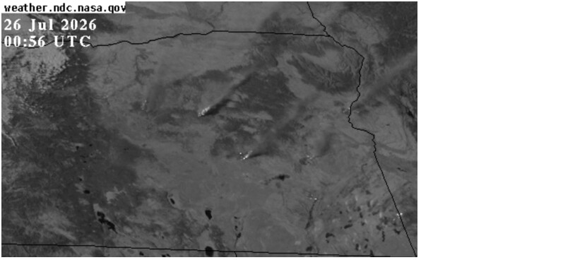
Band 5 (1.61 µm)
[NASA/MSFC Interactive GOES Data Selector](https://
weather.ndc.nasa.gov/cgi-bin/get-abi?satellite=GOESWestconusband02&lat=43.1&lon=-120&zoom=2&width=800&height=600&quality=100&palette=ir1.pal&type=Animation&numframes=50)