I’ve divided this thread into 3 sections:
- The Americas
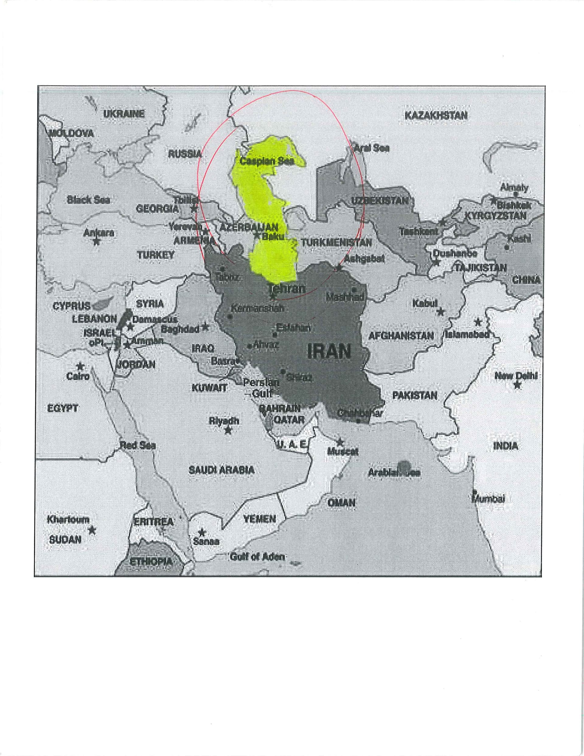
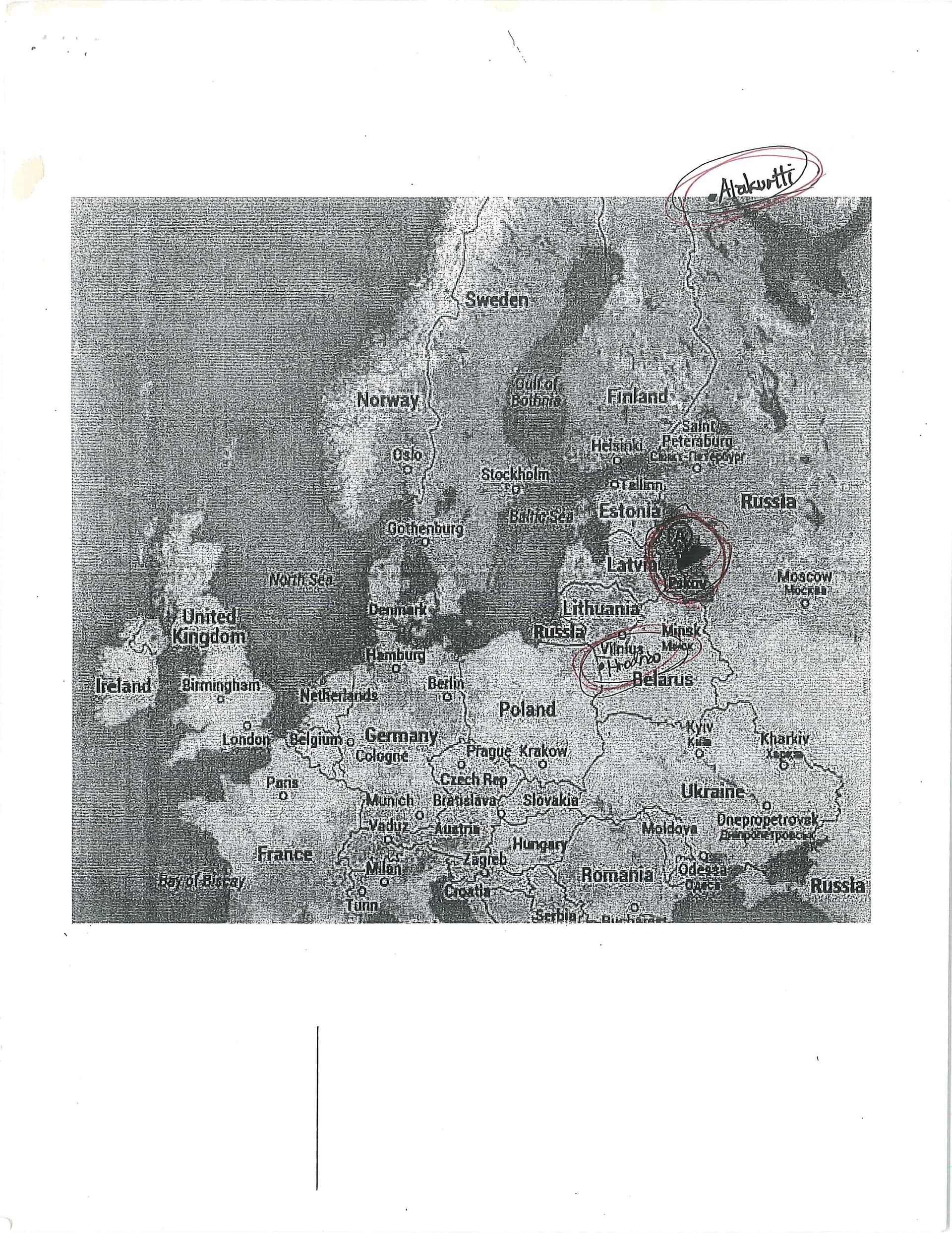
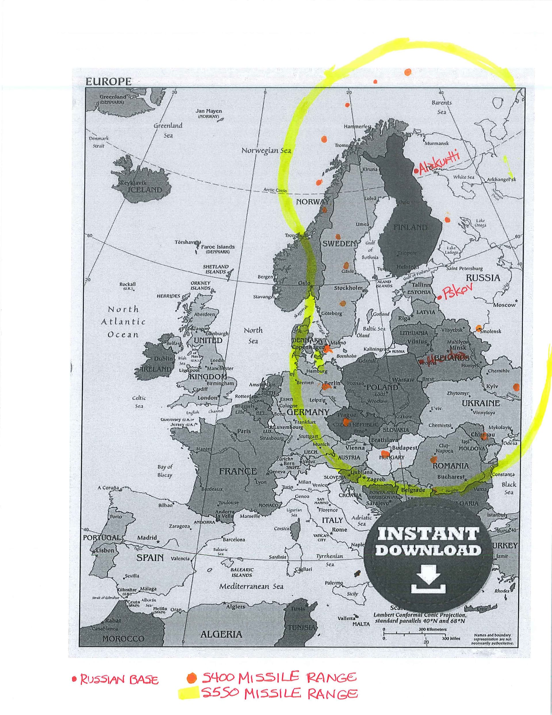
- Iran, Russia, and Eastern Europe
- Russia, China, and Japan
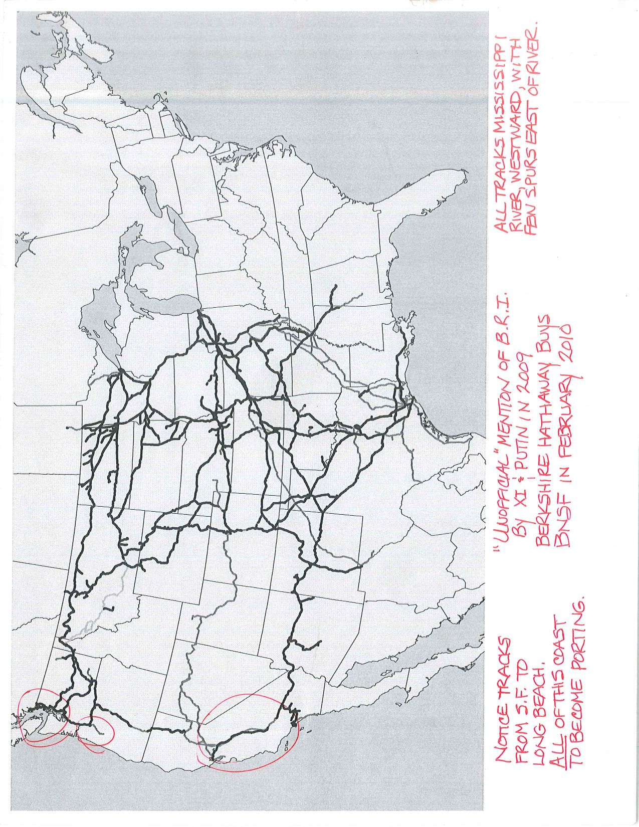
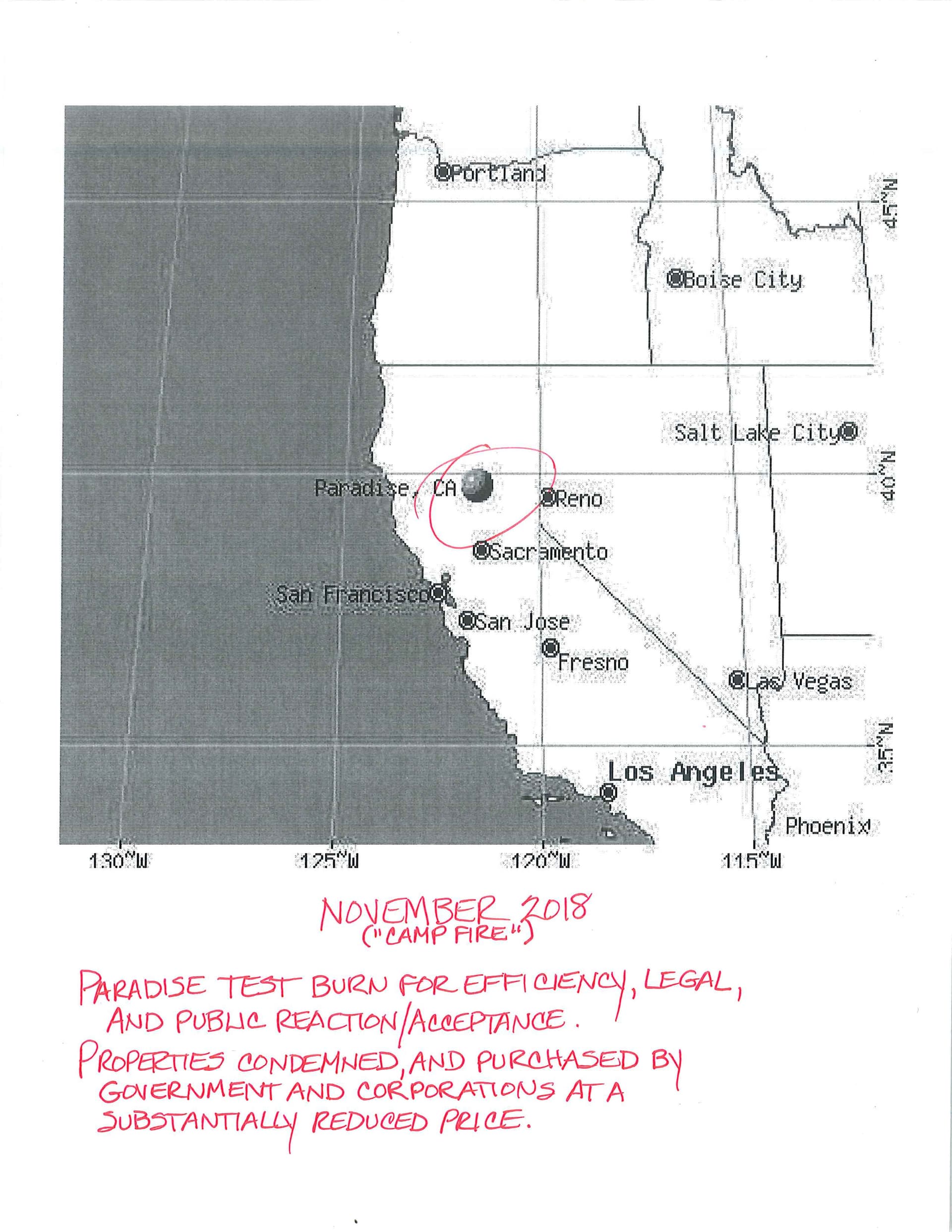
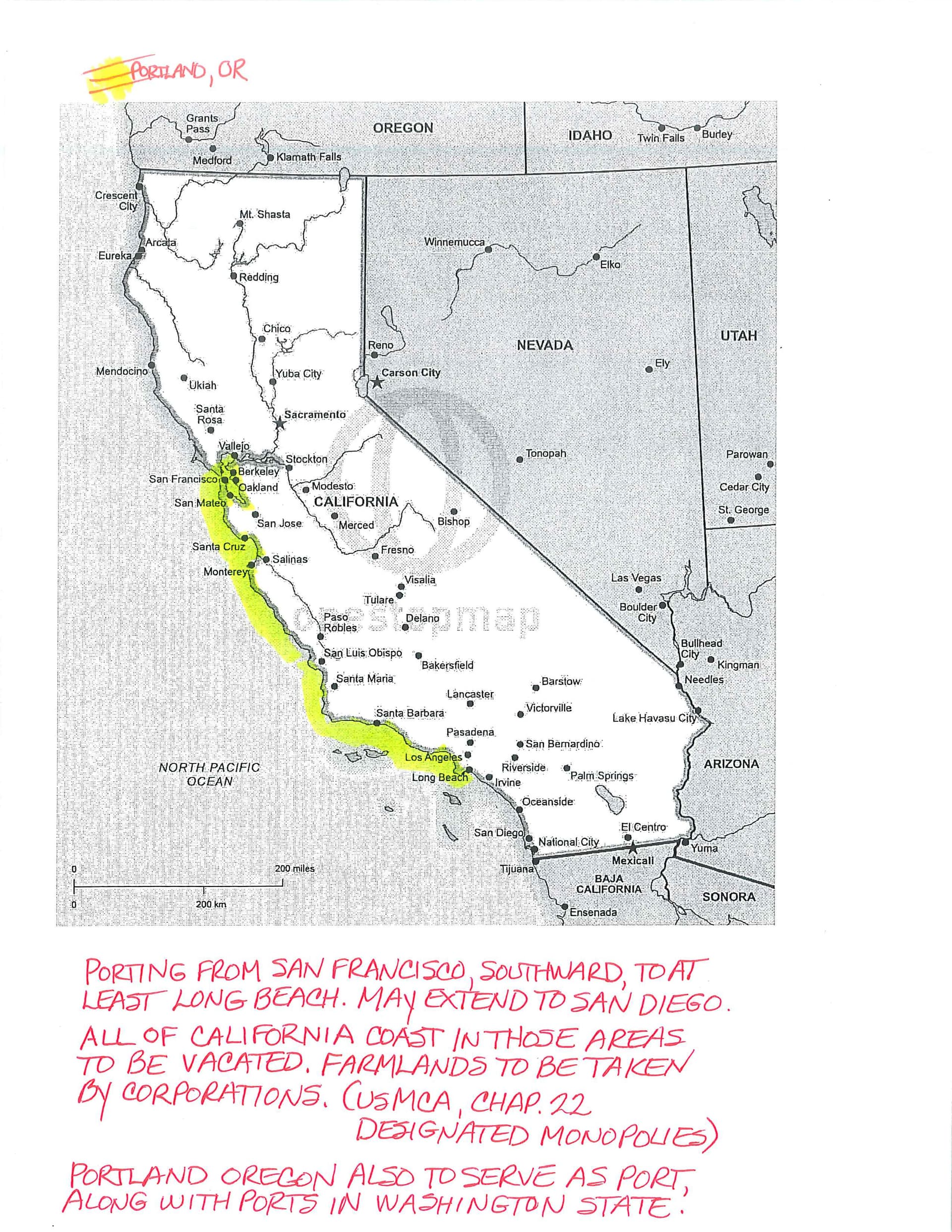
These are relatively rudimentary notes and drawings and when I look back on when I started questioning what might be going on, it started 16 years ago, but became ‘real’ in late 2018 when we read USMCA. I know you all are sick of hearing it, but the legislation says everything, regardless of what you see and hear from politicians, financiers, and in news, whether mainstream or most alternative channels. I am not attempting to explain things such as digital currencies, chemtrails, or other ideas; this is standing back and looking at the BIGGER parts of the plan(s). The areas I listed above are the only ones that I think I have a pretty good grasp on; others, not so much, yet, if at all.
The plans for The Americas are solidly mine; nobody else has even mentioned the possibility. I take full credit for it being right or wrong, whatever the outcome. The others are a combination of opinions, and information that you might or might not be aware of, and some thoughts about what the positives, or, negatives could be for a particular side(s). I do take into account the personalities of the leaders involved, as it tells us so much of what lengths they might go to achieve their goals, stop others from their goals, or, in order how they might act in order to increase their territory.
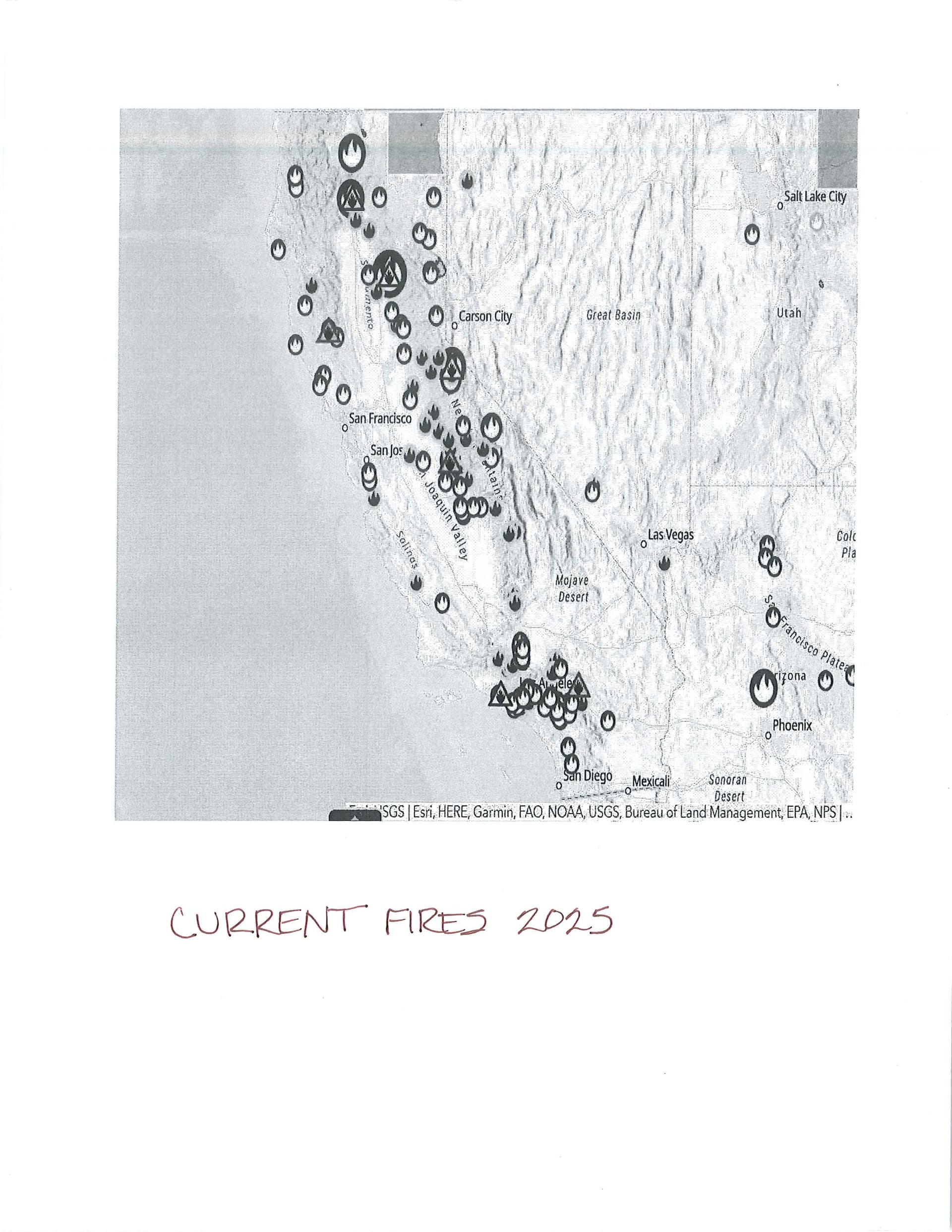
About the percentages that I give to each scenario, they are not ‘probabilities’, nor prognostication, they are bonafide WORK DONE in order to achieve the goal(s) as set forth in my hypotheses. The percentage is tangible, actual work done, and can be seen, in person, or, satellite, and other views, etc. Hypotheses = By comparing different hypotheses , the team aimed to find the most plausible explanation for the phenomenon.
Whether you agree in part, or, not at all with what I’m presenting, please have the moxy to start a thread and post your own “Black Binder” information and ideas. I have to convert to .jpg, as this site does not accept .pdf Will continue tomorrow, as internet here keeps going down.
The next post will concern “The Americas”.