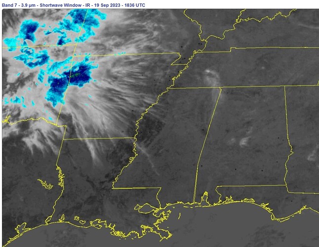
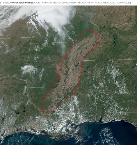
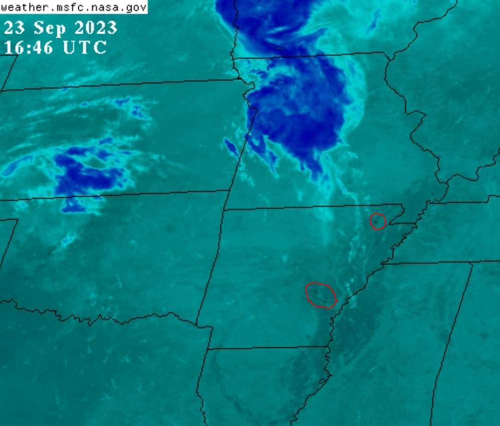
Yes, I learned that after some research on it in '21. As I understand, farmers burn fields to remove stubble and kill some of the pests. But as I explained in many previous posts, those fires should not produce heat sufficient to register black on the infrared channel. It is like farmers start the fires and DEW’s find and zap them. There isn’t much mass to burn, so the fires and plumes only last for 5-30 mins in most cases; several frames only on the Image Viewer.
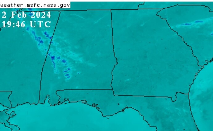
This is the third year in a row I have observed this season (many weeks long) of blinking black dots. So far, Eastern Kansas and Lake Okeechobee are the only other places where blinking dots (and fires) appeared on a regular basis. All three are significant agricultural areas.
There have to be hundreds if not a thousand or two of these “black dot hot” fires, every day. I am trying to make sense of the purpose of striking a region in this manner. How far down does the heat penetrate? Or, as others have suggested, maybe the energy is coming out of the ground like by completing an electrical circuit with the atmosphere. I dunno, I’m just reporting the pattern, which is not natural and therefore, manmade.
Also, black dots along the Mississippi River area are also near the New Madrid fault.
Thoughts?
===
Also, here is the link for the Visible Image Viewer (Band-02). Once the images load, set the speed to max and zoom the web page so the Missouri Boot heel is large and in view. If one looks closely, they can see multiple puffs of smoke appear and then go way. Tiny fires compared to those in California or Canada.


